China's Marine Observation Satellite Network Ready for Service
The HY-1D and HY-2C satellites were recently handed over in-orbit to the Ministry of Natural Resources for operation.
They are expected to provide data services for the country's marine resources development, marine environmental protection, disaster prevention and relief at sea, maritime traffic, polar exploration and climate change research.
Developed by China Aerospace Science and Technology Corporation, the HY-1D and HY-2C satellites were launched respectively in June and September 2020 and had passed in-orbit tests in fields like natural resources, ecological environment, water control, agriculture and rural development, emergency management and meteorology.
HY-1D works with its predecessor HY-1C and the two satellites have formed the country's first marine satellite constellation. They can monitor seawater color and coastal resources and environments, and track the location of shipping and are already in service for forecasting and monitoring of incidents including green tides, typhoons and oil spills, as well as the mariculture sector.
HY-2C will work together with the in-orbit HY-2B and the to-be-launched HY-2D to form the country's first dynamic marine environment satellite constellation, which is expected to improve global observation coverage and efficiency.
The dynamic marine environment information of sea wind, waves and ocean current will meet China's demands for marine, meteorological, disaster relief and water control services.
The satellites will also contribute to providing real-time data for national economic development, national defense construction, maritime scientific research and climate change and play a key role in the international Earth observation system and offer technological support to China's involvement in global governance.

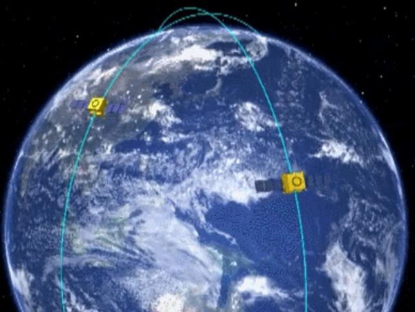
An animation demonstration image of HY series satellites operating above the Earth [Photo/sasac.gov.cn]
(Executive editor: Niu Yilin)


