Haiyang-1 Series Satellites Obtain Clearer Images
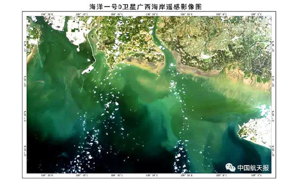
The coastal area of Guangxi Zhuang autonomous region filmed by the imager carried by the Haiyang-1D satellite. It is one of the first satellite images the satellite obtained after its launch on June 11. [Photo/sasac.gov.cn]
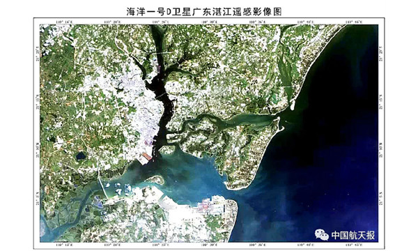
Zhanjiang in South China's Guangdong province filmed by the imager carried by the Haiyang-1D satellite [Photo/sasac.gov.cn]
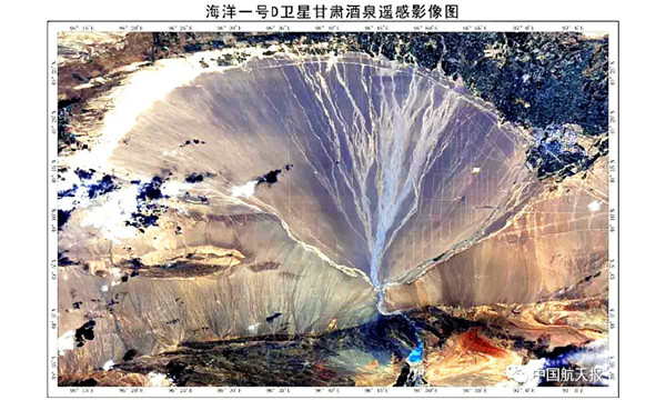
A remote sensing image of Jiuquan in Northwest China's Gansu province filmed by the imager carried by the Haiyang-1D satellite [Photo/sasac.gov.cn]
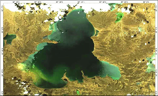
Eling Lake of China's Qinghai province filmed by the imager on the Haiyang-1D satellite [Photo/sasac.gov.cn]
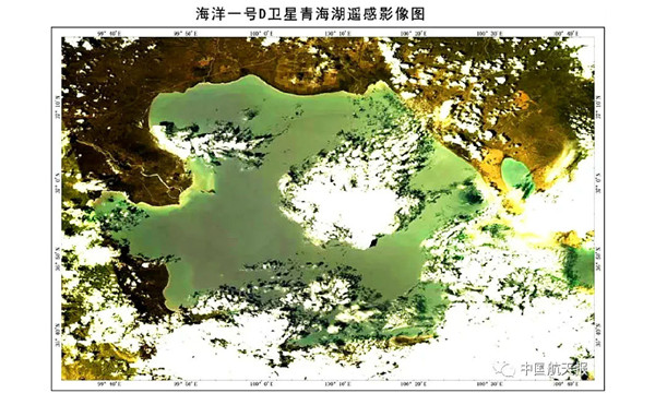
Qinghai Lake filmed by the imager on the Haiyang-1D satellite [Photo/sasac.gov.cn]
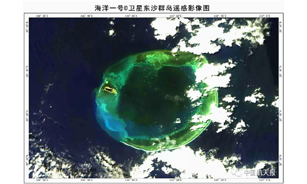
A remote sensing image of the Dongsha Islands filmed by the Haiyang-1D satellite [Photo/sasac.gov.cn]
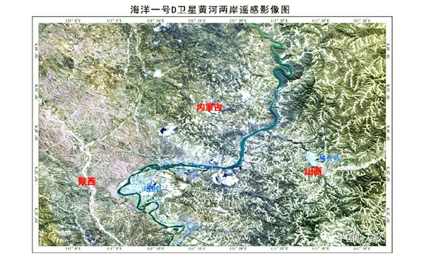
Banks of the Yellow River filmed by the Haiyang-1D satellite [Photo/sasac.gov.cn]
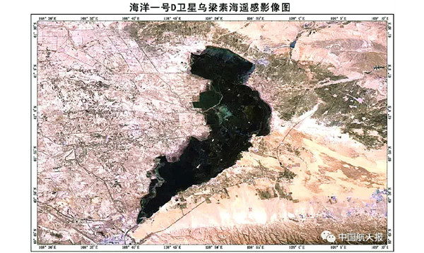
A remote sensing image of Ulansuhai Nur, the biggest lake in the Yellow River basin located in Urad Front Banner of Bayannur in North China's Inner Mongolia autonomous region [Photo/sasac.gov.cn]
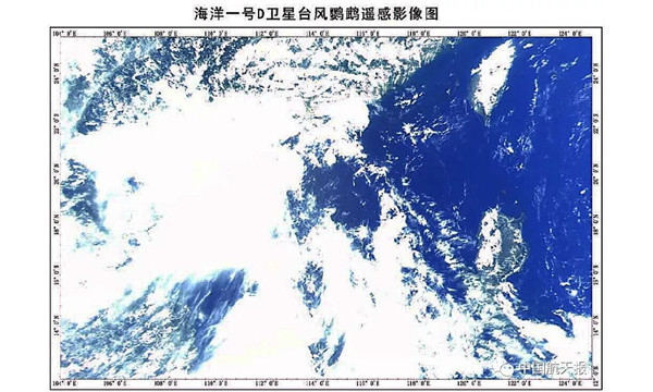
A remote sensing image of Typhoon Nuri shot by the imager on the Haiyang-1D satellite [Photo/sasac.gov.cn]
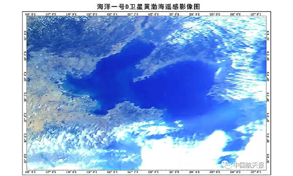
A remote sensing image of the Bohai and Huanghai seas shot by the imager on the Haiyang-1D satellite [Photo/sasac.gov.cn]
(Executive editor: Wang Ruoting)


