Haiyang-1 Series Satellites Obtain Clearer Images
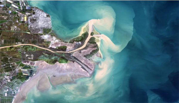
The Yellow River estuary shot by the Haiyang-1C satellite [Photo/sasac.gov.cn]
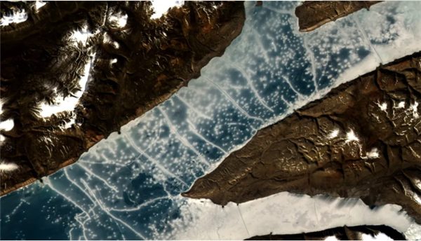
An image of the North Pole shot by the imager on the Haiyang-1C satellite [Photo/sasac.gov.cn]
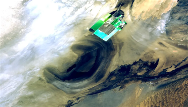
The Lop Nur Desert in Northwest China's Xinjiang Uygur autonomous region [Photo/sasac.gov.cn]
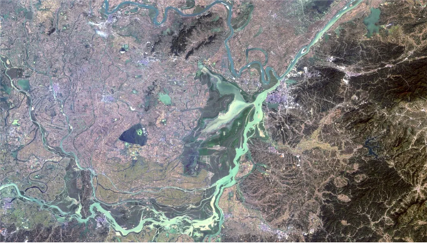
Dongting Lake, China's second-largest freshwater lake, shot by the imager carried by the Haiyang-1C satellite [Photo/sasac.gov.cn]
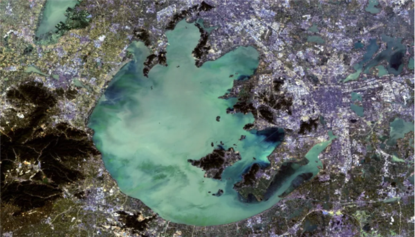
A remote sensing image of Taihu Lake, China's third-largest freshwater lake [Photo/sasac.gov.cn]
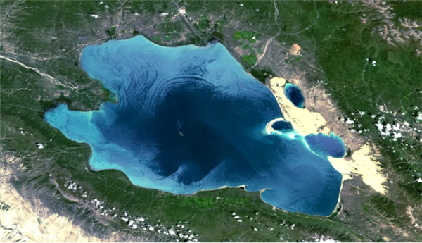
An image of Qinghai Lake, China's largest inland saltwater lake in Northwest China's Qinghai province, filmed by the imager carried by the Haiyang-1C satellite [Photo/sasac.gov.cn]
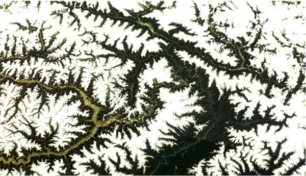
The Yarlung Zangbo River shot by the imager carried by the Haiyang-1C satellite [Photo/sasac.gov.cn]
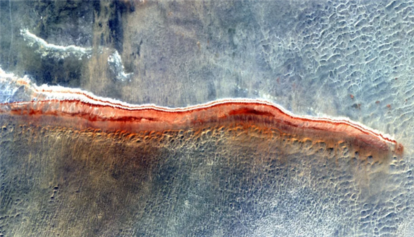
Xinjiang's desert shot by the imager carried by the Haiyang-1C satellite [Photo/sasac.gov.cn]
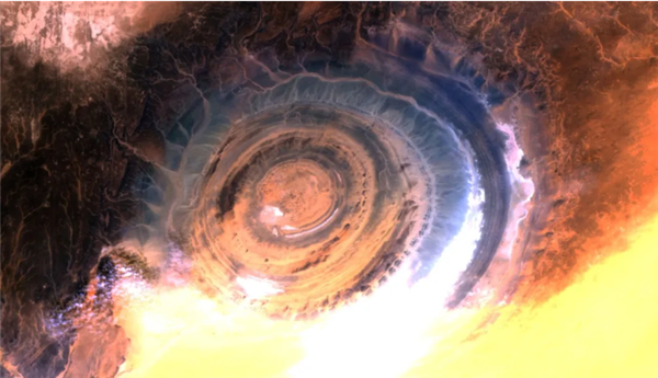
The Eye of the Sahara, also known as "the Richat Structure", filmed by the imager carried by the Haiyang-1C satellite [Photo/sasac.gov.cn]


